
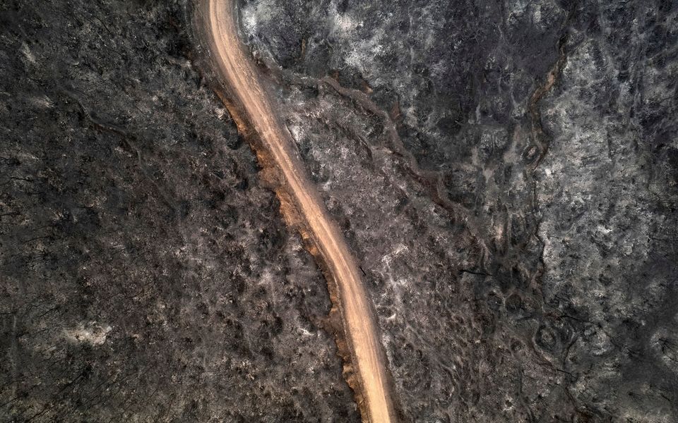
An aerial view of a burnt forest in the village of Avantas, near Alexandroupoli town, in the northeastern Evros region [AP]
According to satellite images analyzed by the National Observatory of Athens, an estimated 10,000 hectares of land have burned in Greece over the past few days.
Chios has been the hardest hit, with 4,000 hectares burned, followed by Achaia (2,000 hectares), Filippiada, northeast of Preveza (1,800 hectares), Zakynthos (1,700 hectares), Paliambela, near Preveza (250 hectares), and Patra (200 hectares).
Satellite images from the VIIRS (Visible Infrared Imaging Radiometer Suite) instrument showed the extent of the fire’s spread as of 3 a.m. on Wednesday.
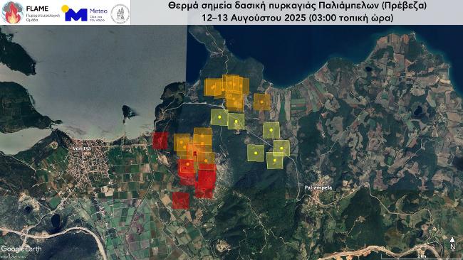 Satellite imagery indicates 250 hectares burned in Paliambela, near Preveza, as of early Wednesday morning.
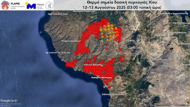 Satellite imagery from the VIIRS instrument shows approximately 4,000 hectares burned on Chios as of 3 a.m. Wednesday.
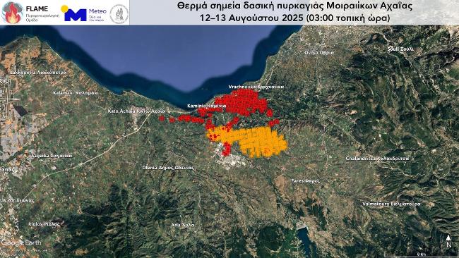 VIIRS satellite data reveals about 2,000 hectares burned in Achaia by early Wednesday morning.
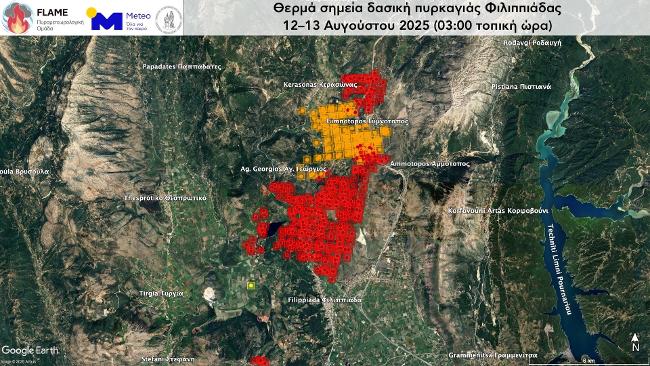 Satellite images captured 1,800 hectares burned in the Filippiada area, northeast of Preveza, as of Wednesday morning.
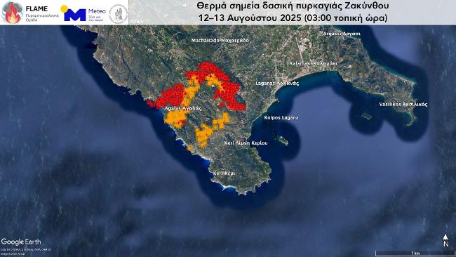
VIIRS data shows 1,700 hectares affected by wildfire on Zakynthos by 3 a.m. Wednesday.
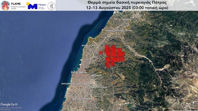 VIIRS images show about 200 hectares burned in the Patra area by early Wednesday.