I’m aware wikipedia uses these types of maps but I’ve also seen people that aren’t wikipedia make these. Like what software website or app do they use?
There’s this [entire article](https://commons.wikimedia.org/wiki/Commons:Map_resources) about how to edit maps for Wikipedia, including software recommendations. Essentially they encourage using SVG files, which are not real images but something like visual representations of underlying code or data. They have some templates available you can use and edit.
ikarusproject on
The type of software for professional maps and handling geospatial data is called GIS. ESRI’s Products are the most common commercial applications. QGIS is the best most common open source option.
No-Paleontologist769 on
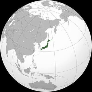
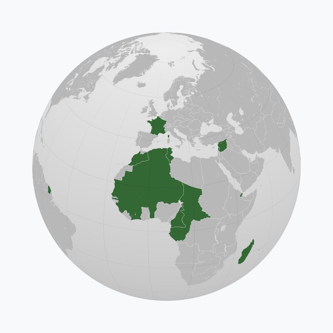
What’s the first and third images maps of?
thefrogwhisperer341 on
This has to be some kind of bot activity, this is the 6th post about this I’ve seen


6 Comments
Install [inkscape](https://en.wikipedia.org/wiki/Inkscape), download the template map from Commons, open the file with inkscape and that’s it.
There’s this [entire article](https://commons.wikimedia.org/wiki/Commons:Map_resources) about how to edit maps for Wikipedia, including software recommendations. Essentially they encourage using SVG files, which are not real images but something like visual representations of underlying code or data. They have some templates available you can use and edit.
The type of software for professional maps and handling geospatial data is called GIS. ESRI’s Products are the most common commercial applications. QGIS is the best most common open source option.
What’s the first and third images maps of?
This has to be some kind of bot activity, this is the 6th post about this I’ve seen
Use inkscape