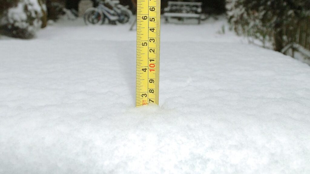
Snowfall is a question that has beguiled scientists for decades. “It should be a really simple problem,” says Keith Jennings, director of research at the University of Vermont’s Water Resources Institute. “Is it raining? Or is it snowing?” Part of the problem is that the temperature doesn’t determine what comes down. In a spread of nine degrees Fahrenheit, precipitation can be rain or snow, depending on what it experiences in the upper atmosphere.
With new technology and tools, researchers tackle this age-old issue every winter, and they are getting closer to models and techniques that accurately assess what’s coming down. Some of the best methods, it turns out, still may include rudimentary human involvement.
Buckets and bytes
Why not just put out a bucket and weigh what goes into it? Claire Pettersen, a researcher at the University of Michigan gets that question a lot. The problem, she says, is that any little breeze pushes out flakes—especially if they’re fluffy, light ones. “You could wave your hand in the air, and it’s going to move that snow all over as it’s falling,” she says.
One of her recent studies used a video distrometer, an instrument with high-speed cameras, to capture images of falling precipitation from different angles. That data, combined with machine learning, showed that there are nine different types of precipitation between rain and snow, ranging from drizzle to heavy snowfall. Each has a unique pattern.
Pettersen says that combining methods, like she does in experiments at the Storm Peak Laboratory, may yield the most accurate readings of what is falling from the sky, from satellites in space to lasers on the ground, that can be broken up by flakes falling to planes that fly through storms to understand heavy snow processes. “The best case scenario is you have a bunch of different instruments at your fingertips,” she says.


