
Saturday, Feb 14, 2026 21:37 | 18 mins ago | By: EarthquakeMonitor
A shallow magnitude 2.8 earthquake was reported early morning near Katanning, Western Australia, Australia.
According to Geoscience Australia (GeoAu), the quake hit on Sunday, February 15th, 2026, at 5:22 am local time at a shallow depth of 6.2 miles. Shallow earthquakes are felt more strongly than deeper ones as they are closer to the surface. The exact magnitude, epicenter, and depth of the quake might be revised within the next few hours or minutes as seismologists review data and refine their calculations, or as other agencies issue their report.
A second report was later issued by the citizen-seismograph network of RaspberryShake, which listed it as a magnitude 2.8 earthquake as well. A third agency, the European-Mediterranean Seismological Centre (EMSC), reported the same quake at magnitude 2.8.
Towns or cities near the epicenter where the quake might have been felt as very weak shaking include Pallinup (pop. 78) located 4 miles from the epicenter, Gnowangerup (pop. 590) 7 miles away, and Jackitup (pop. 60) 10 miles away. In Broomehill (pop. 380, 17 miles away), Tambellup (pop. 370, 21 miles away), Katanning (pop. 3,700, 24 miles away), and Nyabing (pop. 290, 25 miles away), the quake was probably not felt.
If you felt it, report it through our site or app right now!
Earthquake data:
I felt this quake
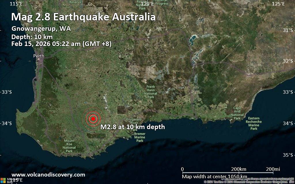
Date & time: Feb 15, 2026 05:22 am (GMT +8) local time (14 Feb 2026 21:22 GMT)
Magnitude: 2.8
Depth: 10.00 km
Epicenter latitude / longitude: 33.85°S / 117.93°E ![]() (Gnowangerup, Australia)
(Gnowangerup, Australia)
Primary data source: GeoAu