
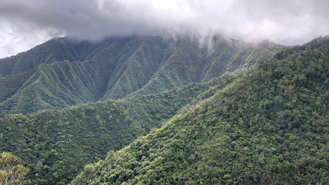
 Mount Kaʻala with fog
An innovative University of Hawaiʻi research team is using trail cameras and artificial intelligence (AI) to better understand how much fog contributes water to native ecosystems and groundwater recharge. Led in part by Honolulu Community College Professor John DeLay, the project focuses on Mount Kaʻala, Oʻahu’s highest peak and an essential watershed.
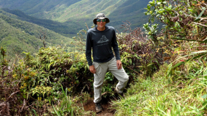 John DeLay
“If we can keep the project going long enough, we might be able to detect a change in the lifting condensation level—affecting the extent of cloud and fog at the canopy level,” DeLay said.
Recharging the aquifer
Supported by the UH Office of Innovation and Commercialization, the system has achieved up to 93% accuracy in identifying fog conditions across different sites in both day and night conditions. This allows researchers to build long-term records of fog frequency and examine how moisture patterns vary.
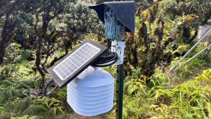 Summit trail camera with temperature and relative humidity sensor
“Not only is it really important for these ecosystems, which have fragile native species that need a lot of moisture and water, it’s also recharging out water budgets and our aquifer,” said Joel Nicolow, a UH Mānoa graduate research assistant in the School of Ocean and Earth Science and Technology.
Turning to AI
Historically, measuring this critical moisture required highly specialized personnel and expensive, complex equipment. The team turned to technology for a solution.
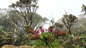 Cloud forest on Mount Kaʻala
“We wanted to look at using cameras as a much more scalable, cost-effective approach,” explained researcher Dylan Giardana of the UH Mānoa Water Resources Research Center. “We use a machine learning model to classify all the images that we’re getting from these trail cameras.”
Their analysis shows that fog frequency jumps dramatically from about 10% at an elevation of 600 meters to 70% at the 1,200-meter summit. Understanding these patterns is essential as climate change and invasive species threaten natural watersheds. Long-term data may also help land managers in adapting conservation strategies.