
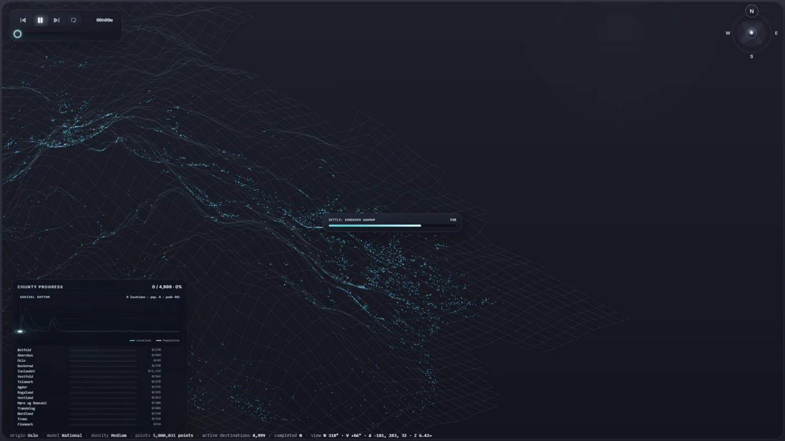
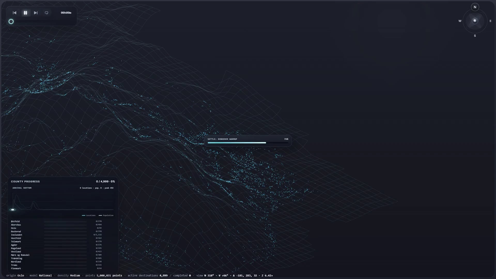
I’ve been working on Synaptic Norwaya visual experiment exploring branching patterns that appear repeatedly in nature, across completely different systems and scales.
Using Norway’s real road network, the country gradually reveals itself as a living structure. Routes propagate across the landscape like neural impulses, growing roots, river systems or electrical discharges.
The project uses real geographic data and routes calculated through a routing engine. From a selected origin, paths spread through the road network towards 6,237 populated destinations across Norway.
The animation is driven by the actual travel time of each route, so places are not simply revealed according to geographic distance. They appear according to how long it would actually take to reach them by road.
The idea is not really to visualize roads themselves, but to expose a pattern that seems to appear everywhere in nature: trees branching, rivers forming drainage networks, neurons connecting, lightning propagating, and transport networks distributing movement across a landscape.
Each origin turns Norway into a kind of cartographic organism. Routes grow, destinations light up, and the structure gradually emerges somewhere between geography, biology and electricity.
It is essentially a data-driven visualization, but also an attempt to look at the connection between human infrastructure and patterns that nature has been producing for millions of years.
You can play around with it here:
https://synaptic-no.vercel.app/
Feedback, criticism and suggestions are very welcome.
https://v.redd.it/1nvr4woo5hoh1
Posted by SignorSalviati