
")
I don’t know if this is appropriate for this community (but I assume a bot will inform me if not).
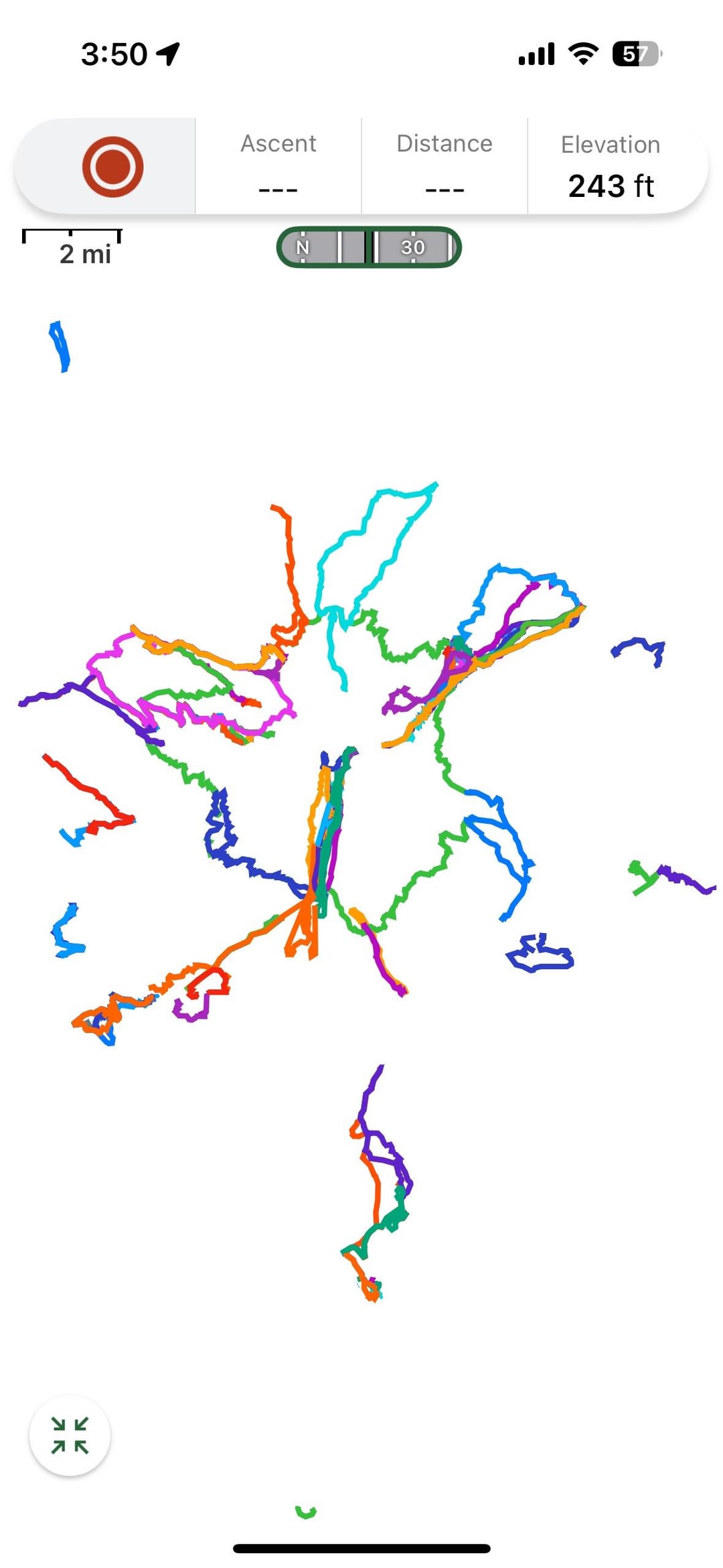
These are simply screen shots, laid against as blank a background as I can find on the Gaia GPS app, that show all of my human powered travel around Mt. Hood, Oregon in the last maybe 10-12 years. Ok, also a couple ski lifts (straight lines). I am lightly, but only lightly, considering turning this into a tattoo. (A potentially living document, as I add lines through more outdoor activity.)
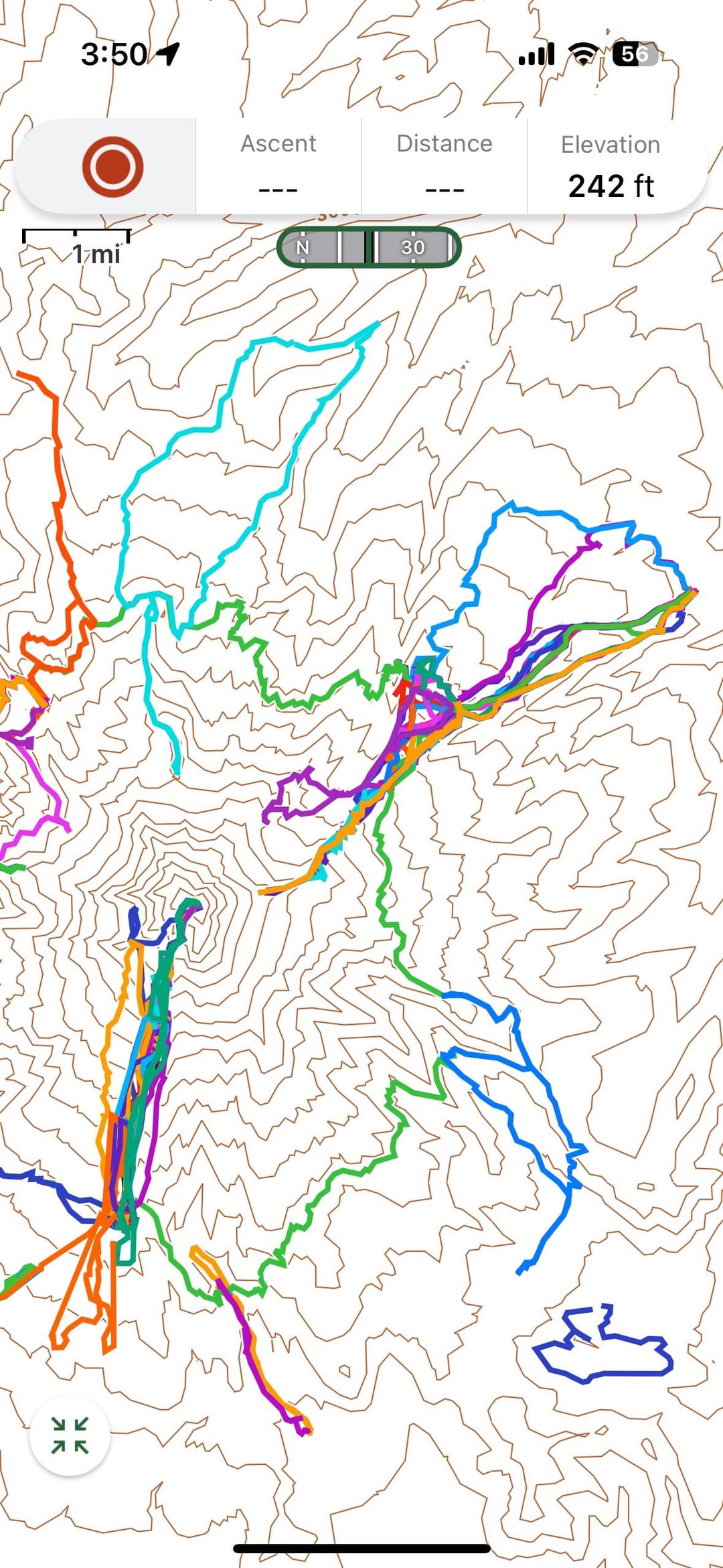
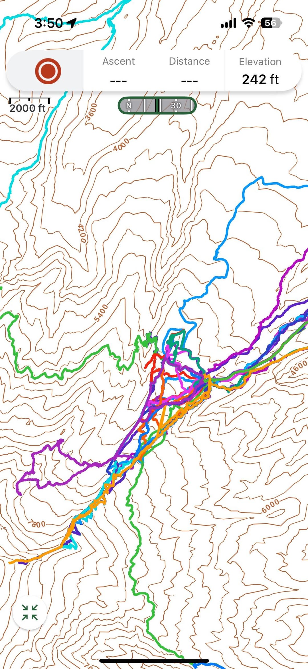
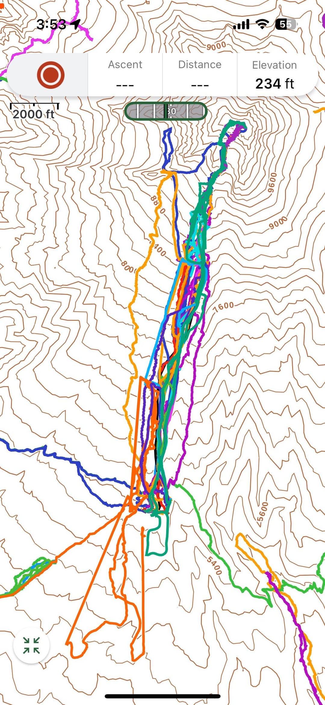
I wonder if anyone is able to make this sort of data a bit more beautiful. The first shot is all of the routes, and this would comprise the main image. The second shot is zoomed in a little closer, just to give an idea how many lines there are. The last two shots are zoomed in even more on two of my heavily traveled areas, to show all the overlapping lines. I love the specificity, and some of these lines are even specifically evocative for me, but I don’t know if this would be tattooable, or look good if it is. But maybe there’s a way to do a sort of “heat map” – I dunno, maybe not, that’s why I’m throwing this out there!
I guess if someone wanted to go crazy I could figure out a way to send ACTUAL data, but that would be asking a lot…
Anyway, thanks, maybe!
Posted by jlawrence10
2 Comments
I track all my hikes in Google Earth. You can play with the tilt and get some better visualization of elevation gain. I also think contour maps are beautiful, especially if you can get to a decent interval (say 5 minor 10 major)
I thought that was the Illinois district lines. 🤣