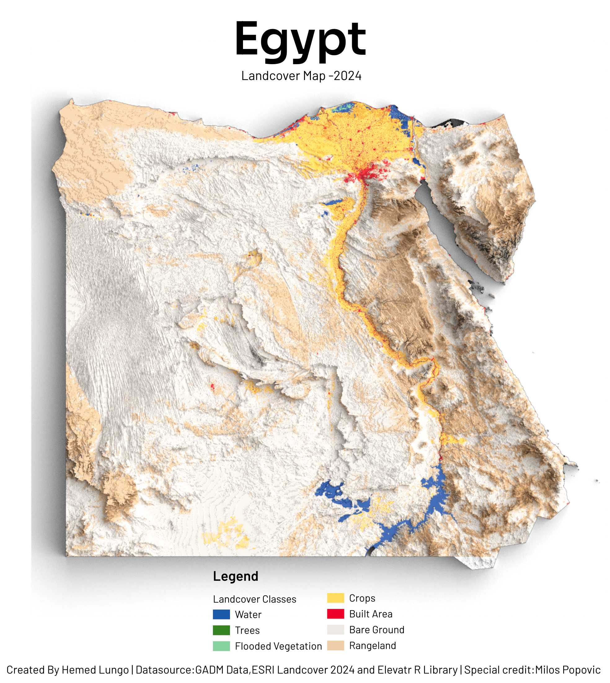
Made with QGIS & Blender using:
Landcover from EarthMap(ESRI 2024)
DEM from Elevatr Library in R programming
Posted by hemedlungo_725

![[OC] Landcover Map of Egypt - 2024](https://www.byteseu.com/wp-content/uploads/2025/10/yvewi05sjexf1-1372x1536.png "[OC] Landcover Map of Egypt – 2024")
Made with QGIS & Blender using:
Landcover from EarthMap(ESRI 2024)
DEM from Elevatr Library in R programming
Posted by hemedlungo_725
5 Comments
Made with QGIS & Blender using:
Landcover from EarthMap(ESRI 2024)
DEM from Elevatr Library in R programming
Great. Can you make a tutorial of how you do it ?
I know that most of Egypt is desert, but like wow, there’s hardly any water or trees
Now I want to look at photos of rural Egypt.
Thought this was a moldy slice of bread…