

Listen to this article
Estimated 1 minute
The audio version of this article is generated by AI-based technology. Mispronunciations can occur. We are working with our partners to continually review and improve the results.
Another winter storm is on its way to much of eastern Newfoundland and is expected to start on Tuesday night and last until Wednesday night.
Between 15 to 25 centimetres of snow is expected for the Avalon Peninsula, areas around Bonavista Bay, Trinity Bay and Placentia Bay, and as far west as Gambo, Hare Bay and St. Brendan’s.
Winds could potentially gust up to 100 km/h along parts of the coast, and northwesterly winds are generally expected to gust anywhere between 60 and 80 km/h.
Environment Canada has issued special weather statements ahead of the storm.
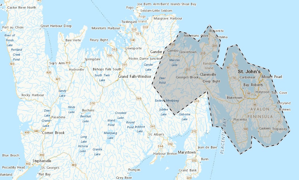
Much of eastern Newfoundland is under a special weather statement as residents prepare for snow and strong winds. (Screenshot/Environment Canada)
Snow is expected to be “wet and heavy,” with temperatures hovering near freezing.
People planning on travelling should consider adjusting their plans, Environment Canada says, as it is warning of slippery, difficult-to-navigate roads caused by snow accumulation.
Download our free CBC News app to sign up for push alerts for CBC Newfoundland and Labrador. Sign up for our daily headlines newsletter here. Click here to visit our landing page.