
![[Final Update] After countless hours I've completed my map of post-roman britain in the era of the saxon invasions. And since you all asked for it, I removed the clouds and added, well, southern scotland!](https://www.byteseu.com/wp-content/uploads/2024/06/44moe7g7ya6d1-854x1024.jpg "[Final Update] After countless hours I’ve completed my map of post-roman britain in the era of the saxon invasions. And since you all asked for it, I removed the clouds and added, well, southern scotland!")
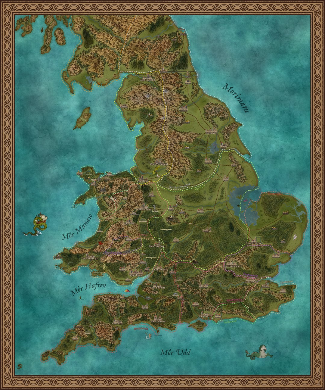
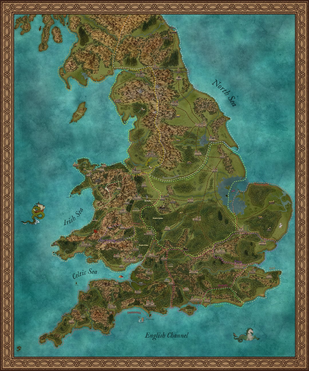
[Final Update] After countless hours I’ve completed my map of post-roman britain in the era of the saxon invasions. And since you all asked for it, I removed the clouds and added, well, southern scotland!
https://www.reddit.com/gallery/1devds5
Posted by ItsNicklaj
8 Comments
Since I’ve been asked multiple times if I accept tips or donations: these 5K version images will ALWAYS remain free, but if you want to support my work, or you want to download a 10k high-res printable version of this map, you can find these on my ko-fi as well as a version of the map without region borders.
Here’s the link: [https://ko-fi.com/nicklaj](https://ko-fi.com/nicklaj)
Exactly when is this set? Iirc the Romans left in around 400ad,and the main Saxon invasions were 800 to 1000ad. Quite a large time period.
What are the paler mountains with the waterfall like things meant to represent, like the ones south-west, and east of Penrith
Could you tell me the names of the islands in Norfolk/Cambridgeshire border? I grew up in Ely which was once an island, hoping one of those is Ely!
I think /r/MapPorn would enjoy this too. You may wish to crosspost.
I like that you accounted for the coastline – particularly around the undrained Fenlands and the Somerset Levels.
IIRC, quite a bit of land in East Sussex hadn’t been reclaimed yet either.
This is fantastic! Awesome job!
Hey this looks like its made in Campaign Cartographer 3, great program!