
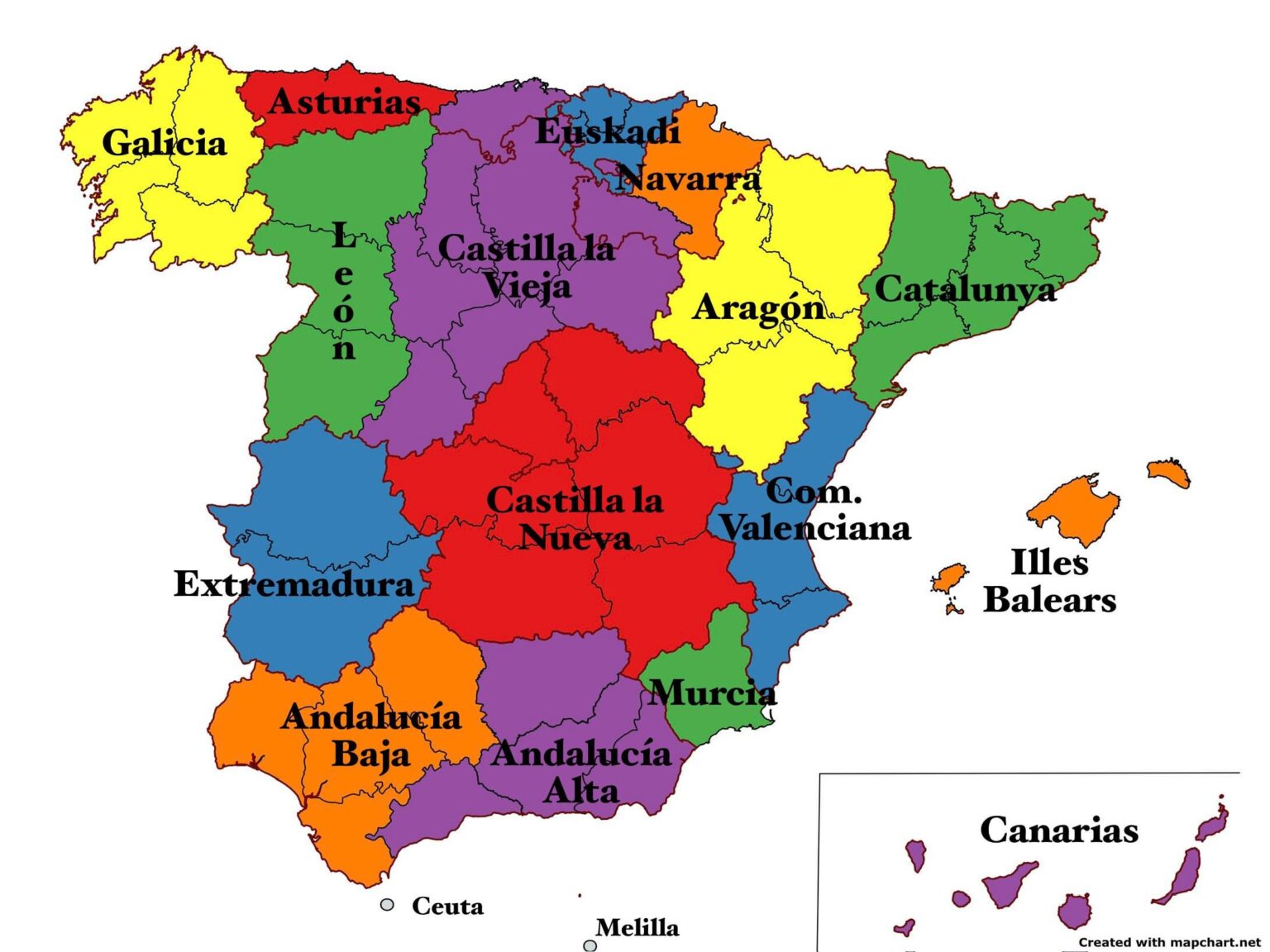
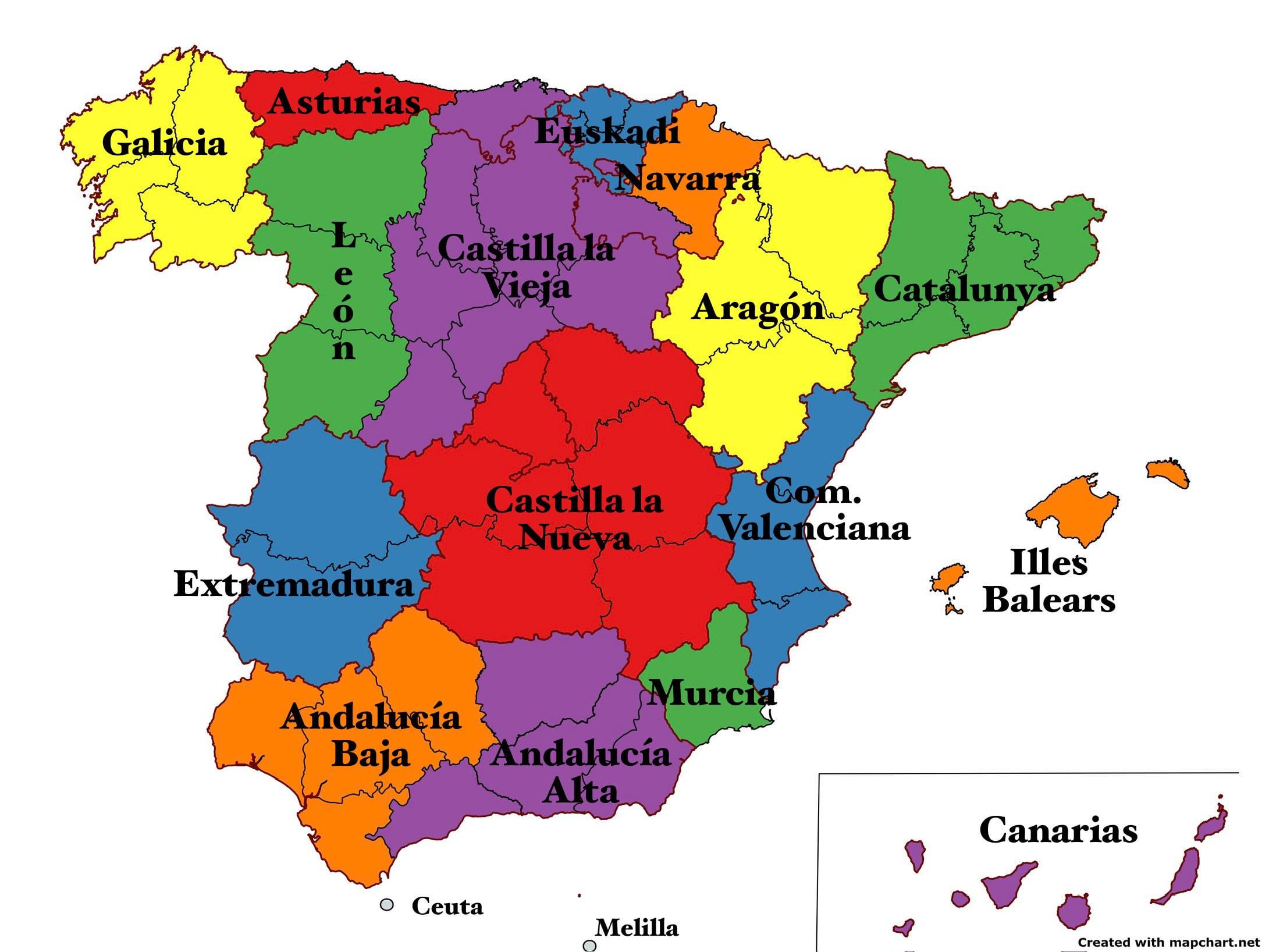
I was debating with some friends about the current territorial division of Spain and how it has changed since the provincial division of the 19th century.
And thinking about the subject, I have started to make a map out of boredom on how it could be, perhaps, more accurate.
It’s not that I particularly defend any of the changes, but I do have some doubts about: – Cantabria and La Rioja as part of Old Castile, as they were during most of the 20th century. – Division of Andalusia into A. Alta and A. Baja, giving more importance to Granada.
I leave you the link to the website with which I made them in case you want to make some more based on your opinion: https:///www.mapchart.net/spain.html#
So nothing, what do you think? Give me your opinion.
PS: I know I’m getting into a big mess, please don’t kill me, let there be peace 😂😅.
https://i.redd.it/7b8ja47jrt6d1.jpeg
Posted by IntroductionShort338
1 Comment
¿Pudiera ser que Extremadura tuvo alguna provincia de Andalucía adherida en el pasado?
Edito: Sí, parece ser que Huelva en ciertos periodos formó parte hasta 1833… Pero el mapa puede ser más contemporáneo.