

As the earth heats up due to the massive, ongoing anthropogenic (human-caused) release of greenhouse gases, the world’s oceans are absorbing a significant amount of that excess heat. Warm water expands, thus raising sea levels. This process is compounded by the rapidly increasing rate at which glaciers and continental ice sheets are melting, again caused by anthropogenic global warming. The result is that low-lying coastal areas, where hundreds of millions of people live, as well as where much commercial and industrial activity is located, are threatened with inundation, either permanent or temporary due to enhanced storm surge.
Sea levels will continue to rise for some time even if drastic measures are taken to greatly reduce the rate of greenhouse gas emissions. The longer this essential change is delayed, the more extreme the consequences. In order to prepare for the developing catastrophic effects of sea level rise, it is necessary to have accurate and up-to-date data regarding the rate of rise, the various factors involved and to identify the locations of short-term and long-term concern.
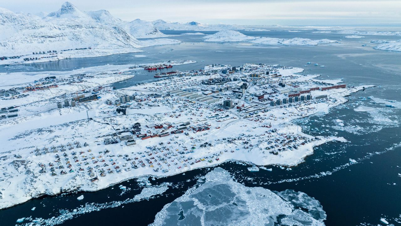
The Greenland coast, near Nuuk, where the icecap is rapidly melting. [AP Photo/Evgeniy Maloletka]
Two recently published articles provide valuable new information regarding both the overall rate of sea level rise and the specific distribution of variations in local sea levels relative to adjacent land elevations.
The first is the product of an international group of scientists, including researchers from China, the United States, France and New Zealand, “Improved closure of the global mean sea level budget from observational advances since 1960” (Huayi Zheng et al, Science Advances, 20 May 2026, Vol. 12 Issue 21). This study was designed to more precisely document the rate of global mean sea level (GMSL) rise since 1960 and to assess the relative contributions of the multiple factors causing that rise.
The approach used in this study was to compare the measured inputs of water from the melting of land ice (e.g., glaciers and continental ice sheets) with direct measurements of the changes in ocean elevations from locations across the globe. The comparison of the data is then used to measure the effect of excess heat being stored in the oceans, causing the water to expand. About 90 percent of the increase in global heat is being absorbed by the oceans.
In the initial analysis, using available data, meltwater contributions to the oceans together amount to an average of 2.00+/-0.49 millimeters per year. This was found to differ from global mean sea level (GMSL) measurements averaging 2.33+/-0.79 mm per year. Thus, the difference of 0.33 mm per year is attributed to the effects of the heating of the oceans during the study period of 1971 to 2018.
The rates of sea level rise attributed to heating and meltwater for three periods (1960-1993, 1993-2005 and 2005-2023) were compared with that seen based on physical measurements (GMSL). Overall, the pattern reveals that heating has been accelerating markedly in recent years, meltwater is variable and the measured sea level elevation accelerated notably in the second period and then rose more slowly during the most recent period. Given the notable acceleration in heating-related expansion and the so far minimal efforts to slow global warming, the overall pace of sea level rise is likely to continue to increase in the future.
The relative contributions to the overall sea level rise since 1960 are 43 percent from thermosteric [heat-induced] ocean expansion, 27 percent from glacier melting, 15 percent from Greenland icecap melting, 12 percent from Antarctic icecap melting and 3 percent from changes in water storage on land (marshes, lakes, rivers, etc.).
Given the above, an accurate measurement of the current sea level is essential to assessing the present and future risks to low-lying coastal areas around the world. A recently published study (Seeger, K., Minderhoud, P.S.J. “Sea level much higher than assumed in most coastal hazard assessments.” Nature March 4, 2026), found that, contrary to existing assumptions, the elevation of ocean water is not uniform across the globe. In fact, by using detailed examination of remote sensing and other local data, it was found that in many cases, local sea level as compared to the adjacent land is significantly higher than is currently understood.

It was found, based on an extensive literature search of published coastal hazard assessments, that the elevation of water to adjacent land was frequently underestimated. This does not contradict GMSL data, which represents the overall average across the globe, encompassing a range of variation. The errors were especially pronounced in areas outside of Northern and Western Europe and Atlantic coast of North America. Large parts of Asia, Africa, Latin America and the Pacific showed more substantial errors, due to weaker existing data. This was attributed to a history of more intensive measuring spanning a longer period of time in the former, generally wealthier areas.
The existing model of uniform ocean water elevation relies on the assumption that gravity and the earth’s rotation are the primary determinants of sea level and that this is consistent across the globe. In fact, the authors propose that, in addition to often inadequate local gravity data, deviations from uniform sea level elevation appear to be caused by local variations in currents, winds, tides, temperature and salt content. As a result, the study found that actual local sea levels can vary up to several meters from what is projected based on the assumption of uniform elevation across the globe.
This pattern means that millions of people living in the poorly mapped areas are at greater risk of flooding. When the researchers added a projected 3.3-foot (1-meter) rise in sea levels estimated by 2100 to the adjusted local elevations and compared those with adjacent topography, they found that the net amount of inundated land would increase 31–37 percent. As a result, 48–68 percent more people (increasing estimates to 77–132 million) would fall below sea level. The impacts are especially concentrated on river deltas, such as those of the Mississippi and Mekong, coastal plains and low-lying islands.
To call such an outcome catastrophic is a vast understatement. Intensified hurricanes and typhoons, also a product of global warming, would extend major impacts even further inland. The combined effects mean that all existing mitigation and disaster preparedness planning, 90 percent of which are based on the existing sea level model, are totally inadequate. Millions of people will be forced to move with tremendous negative effects not only on those displaced but on those in the receiving areas as well.