Share Facebook Twitter LinkedIn Pinterest Bluesky Threads National Walkability Data for Puerto Rico [OC] Posted by Storks_have_arms
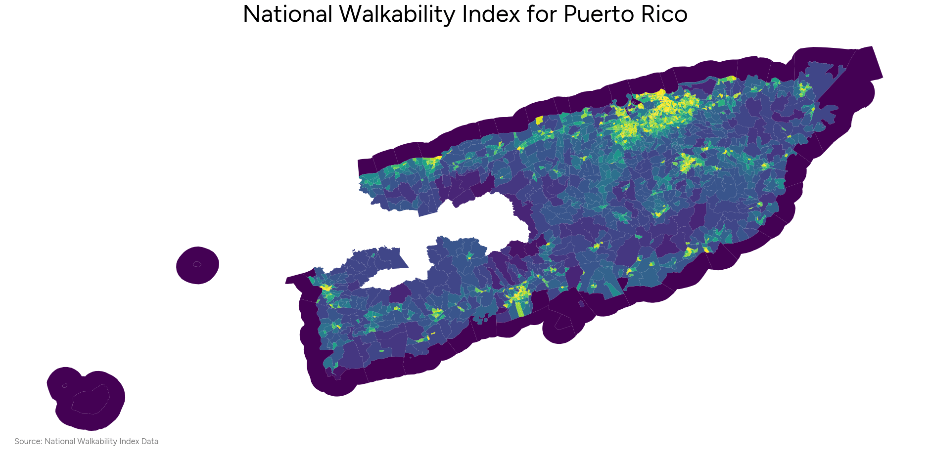
Storks_have_arms on February 16, 2025 1:18 am Source: EPA National Walkability Data – [https://www.epa.gov/smartgrowth/smart-location-mapping#walkability](https://www.epa.gov/smartgrowth/smart-location-mapping#walkability) Visualized using matplotlib.
BeamMeUpBiscotti on February 16, 2025 1:31 am [https://xkcd.com/1138/](https://xkcd.com/1138/) https://preview.redd.it/eyqk3u0nmeje1.png?width=5725&format=png&auto=webp&s=55f3caac6bec44444100029977d623d1049c2c9f
TheOri23 on February 16, 2025 1:44 am I feel there should be an explanation of what each color should mean

![National Walkability Data for Puerto Rico [OC]](https://www.byteseu.com/wp-content/uploads/2025/02/vc020hypjeje1-1536x752.png "National Walkability Data for Puerto Rico [OC]")
7 Comments
Source: EPA National Walkability Data – [https://www.epa.gov/smartgrowth/smart-location-mapping#walkability](https://www.epa.gov/smartgrowth/smart-location-mapping#walkability)
Visualized using matplotlib.
I’m sorry. What the hell is a Walkability Index?
Jesus would like to have a word
[https://xkcd.com/1138/](https://xkcd.com/1138/)
https://preview.redd.it/eyqk3u0nmeje1.png?width=5725&format=png&auto=webp&s=55f3caac6bec44444100029977d623d1049c2c9f
I feel there should be an explanation of what each color should mean
You’re basically screwed in PR without a car.
This is a useless map there’s no legend