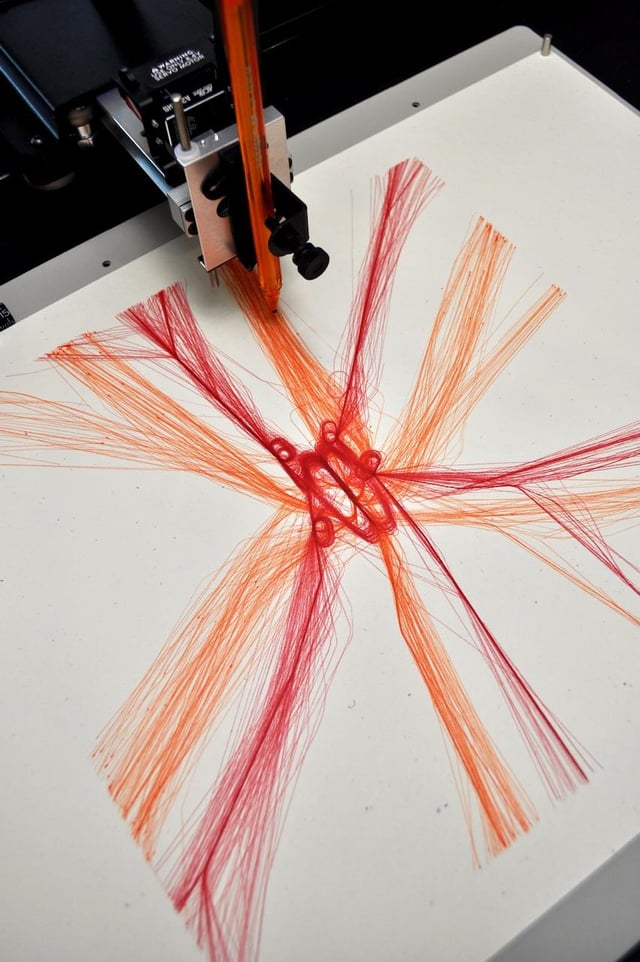
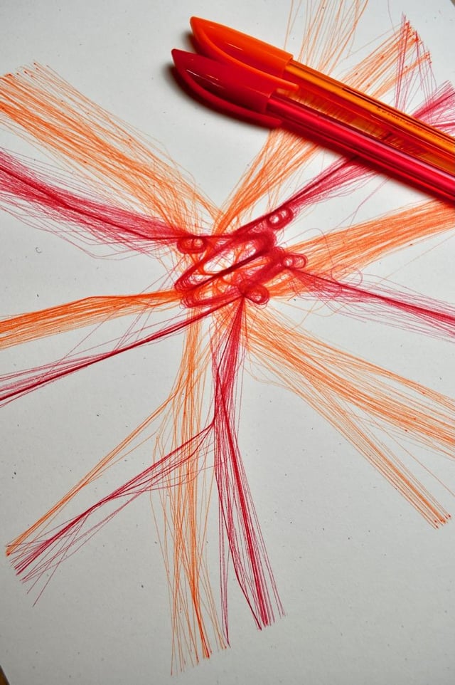
A little context here, I’m taking flight position data and then using that with a pen plotter to draw out multiple flight paths going into the London Heathrow Airport. The scale of this drawing is about 100km by 100km. super interesting to see the flight holding patterns come to life.


7 Comments
A little context here, I’m taking flight position data and then using that with a pen plotter to draw out multiple flight paths going into the London Heathrow Airport. The scale of this drawing is about 100km by 100km. super interesting to see the flight holding patterns come to life.
Note this is a a collaboration project with [https://www.reddit.com/user/jimbob3806/](https://www.reddit.com/user/jimbob3806/)
If you are interested in seeing more please let us know which airport we should do next!!!
Looks like a Georgia O’Keeffe painting.
One of the most beautiful and unexpected posts I’ve seen on this sub–thank you and keep up the good work!
Rare post on r/dataisbeautiful that is actually beautiful data
That’s a real fun project, good job.
How do you plot planes that are upside-down on the tarmac? A Canadian asking…
I’d love to see this for the NY (US) area with the 3 airports being so close.