– False color composites using different spectral band combinations
Glass-Caterpillar-70 on
btw i’m building TerraLab with my father, it’s a planetary engine with real earth data, where you can interact with earth like a video game (simulation, physics, edit the environnement) all in real time
would love feedbacks on that, please reach me if you want to help ((:

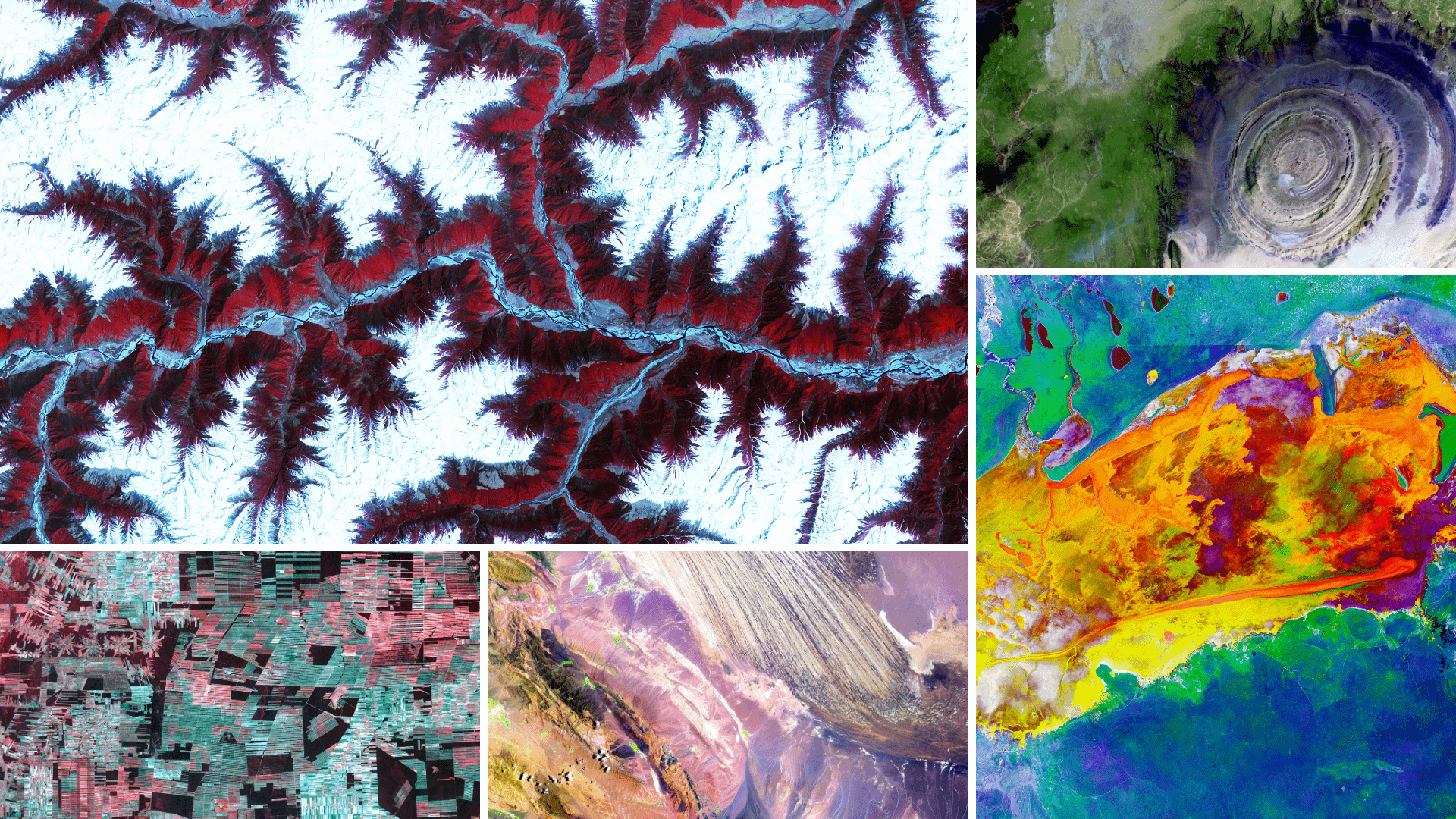
![[OC] Earth Data from satellite imagery is so underrated](https://www.byteseu.com/wp-content/uploads/2025/12/sgdejk483k7g1-1536x864.png "[OC] Earth Data from satellite imagery is so underrated")
2 Comments
Data Sources:
– Sentinel-2 satellite imagery (ESA Copernicus Programme)
– Landsat 8/9 satellite imagery (USGS/NASA)
Tools Used:
– QGIS for geospatial processing
– Python (rasterio, numpy) for band manipulation
– False color composites using different spectral band combinations
btw i’m building TerraLab with my father, it’s a planetary engine with real earth data, where you can interact with earth like a video game (simulation, physics, edit the environnement) all in real time
would love feedbacks on that, please reach me if you want to help ((: