

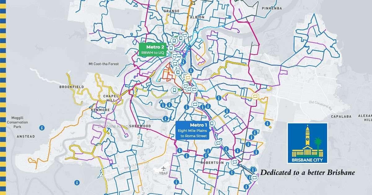
Other than the interactive map on BCC's website (which doesn't cover train and anything outside of BCC area) and Google Maps (only plots trains or the specific bus route you're looking at), is there anywhere that shows the full extent of the bus network or is capable of showing a plotting of every single bus/train/ferry route onto a street map?
I'm not talking about open data itself, but rather it consumed; a non-programmer ready map?
Posted by Damemon
2 Comments
Not AFAIK because local bus networks in SEQ are fucking huge around the Brisbane Transport (bus) service area. There are individual route info cards in libraries etc though?
A lot of less known routes are barely findable at all online like the 9999, or the 539/529 (can’t remember which one forms the service to Esk and Toogoolawah).
[deleted]