

Switzerland’s first-ever tsunami hazard map was created for the canton of Nidwalden in 2015. How did this come about? https://blog.nationalmuseum.ch/en/2026/03/tsunamis-on-lake-lucerne/
https://i.redd.it/l8hicymq6kpg1.jpeg
Posted by swissnationalmuseum
3 Comments
Imagine reading this in the morning and you notice your house highlighted on the map
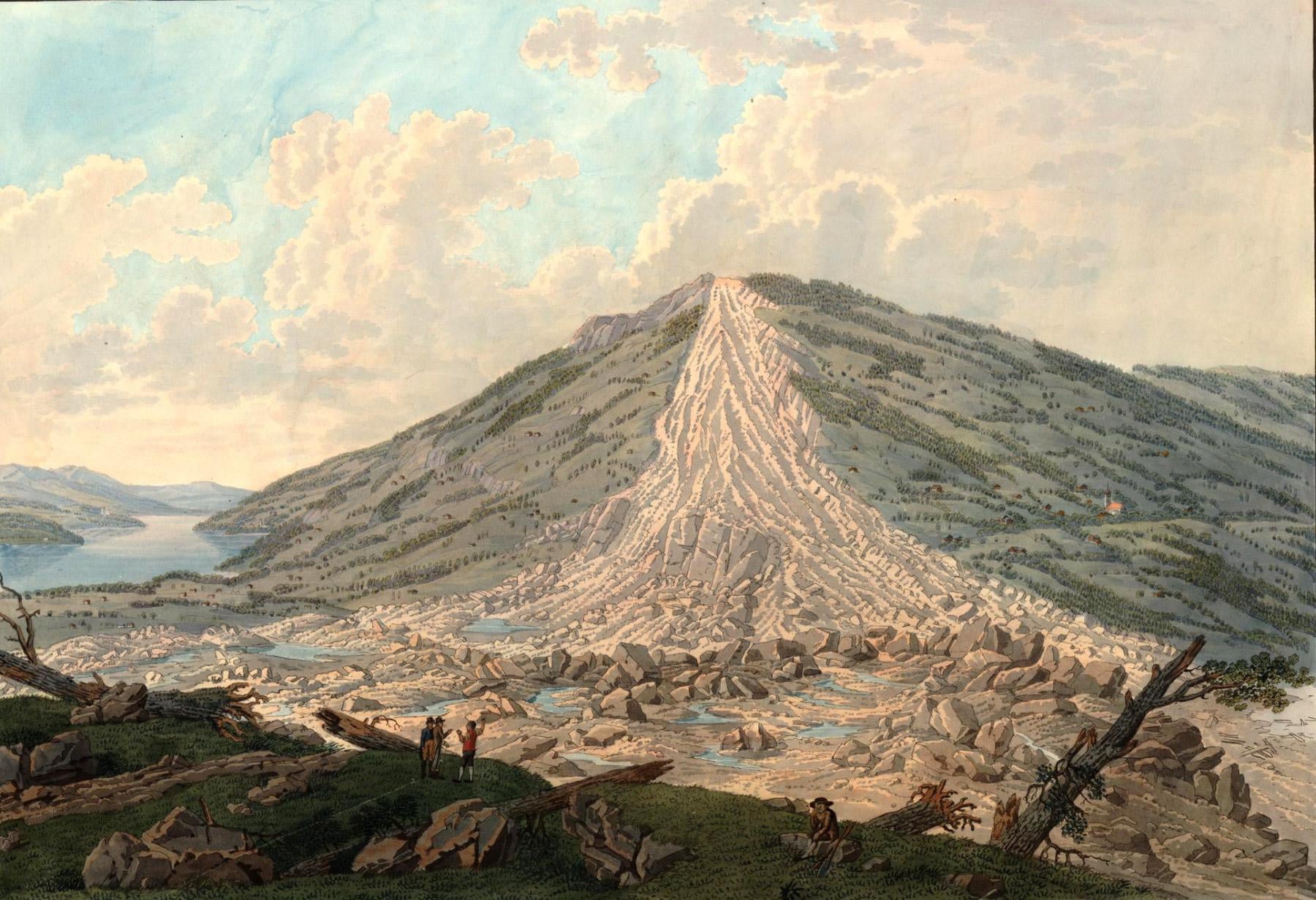
This depicts the landslide of Goldau though, and the lake in the back is Lake Zug, not Lake Lucerne. So no tsunamis and no Lake Lucerne to see here.
Edit: I reacted to the picture without checking the link. Yeah, it leads to information about tsunamis at Lake Lucerne, it does indeed. It’s just not the luckiest lead image, I’d say.
Quite the [same thing happened](https://en.wikipedia.org/wiki/Tauredunum_event) in the Leman.