
I was looking for something else but came across these gems. They are maps commissioned by the Swedish military. I have provided a small explanation for each in order.
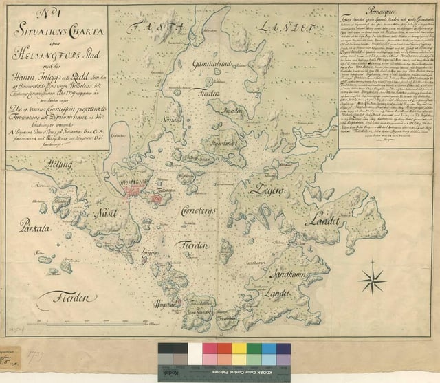
- Meant for the navy due to water depth plotting. You can see the initial plan for the fortification of the bay was to be in Katajanokka. (1739)
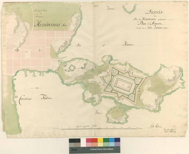
- A plan for the aforementioned fortification. (1740)
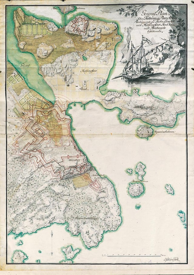
- An alternative plan centered on the hill in todays Kaivopuisto and it’s outlying islands like Harakka. (1743)
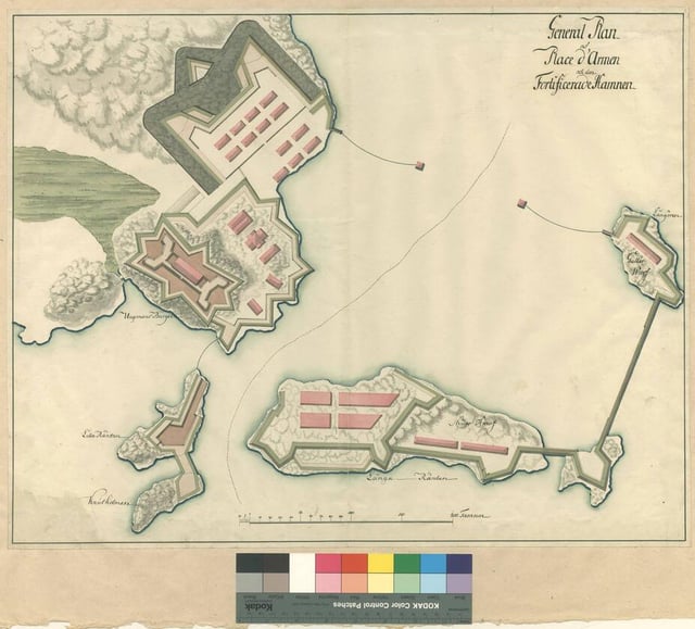
- After the construction of Suomenlinna further plans were drafted to "protect the galley fleet" that harbored within the relative safety of it. I assume the aim of these new fortifications would have been to protect the galleys from landward threats. (1767)
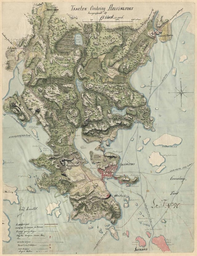
- Meant to depict different avenues for troop movements depending on the season. Provides a good capsule of nature and topography surrounding the city. (1776)
Photos are from the Military Archives of Sweden, Stockholm
Here you can browse these maps yourself.
https://www.reddit.com/gallery/1t88o1f
Posted by Washed_up_Vanski
2 Comments
Cool maps, didn’t know my street was THAT old as it’s depicted on all images
Cool! Where are these from?I have only seen the last one earlier.